Escape for the Weekend
Explore our collection of weekend
Australia
Australia
Australia
Australia
Australia

Australia
Australia
Australia
Australia
Australia
Australia
Australia
Australia
Australia
Australia
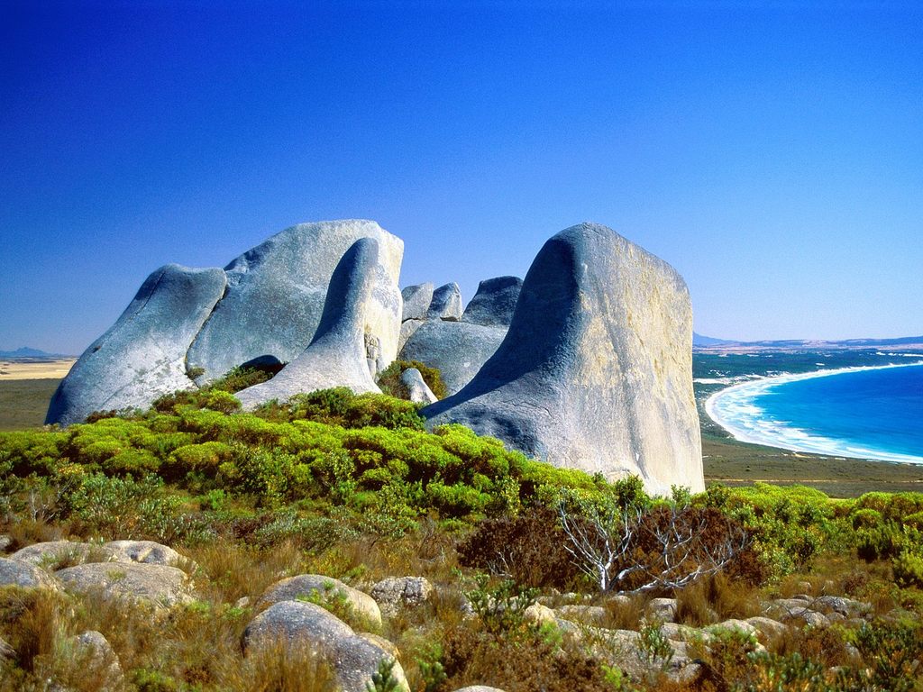
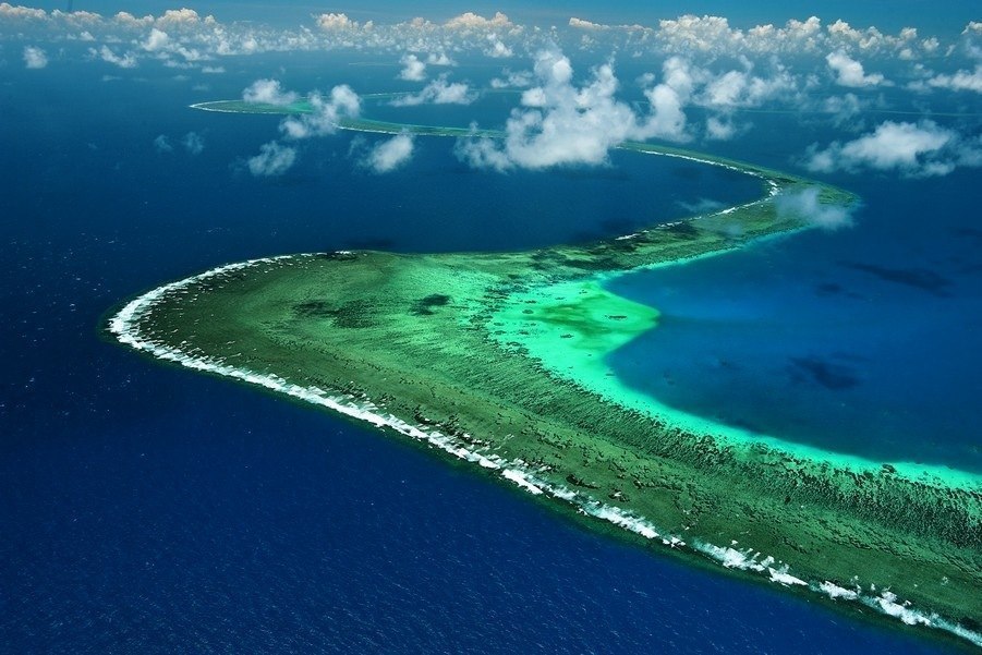
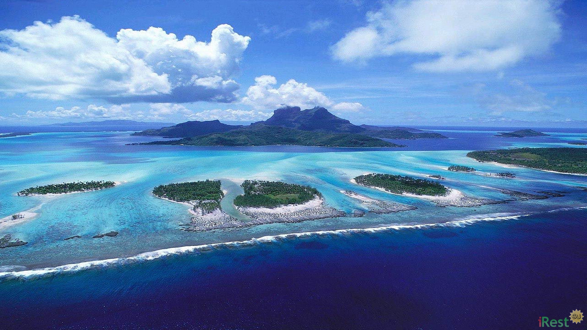
What to see in Australia? Great Barrier Reef; Queensland; the Murray River; Tasmania; the Cocos Islands; and Norfolk Island.
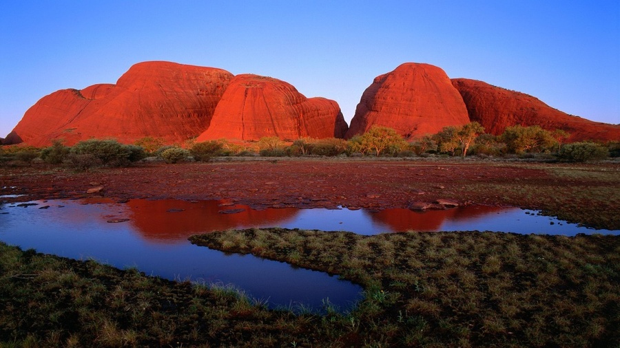
How many wonderful things can be met on this smallest continent and at the same time the biggest island in the world! How many dangers await a traveler in Australia!
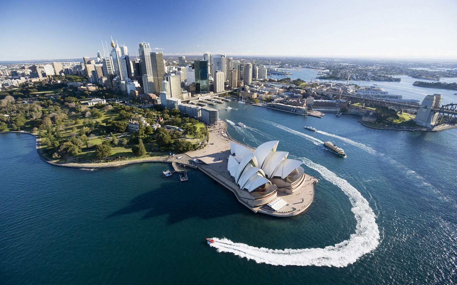
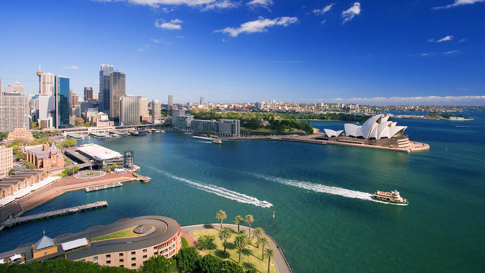
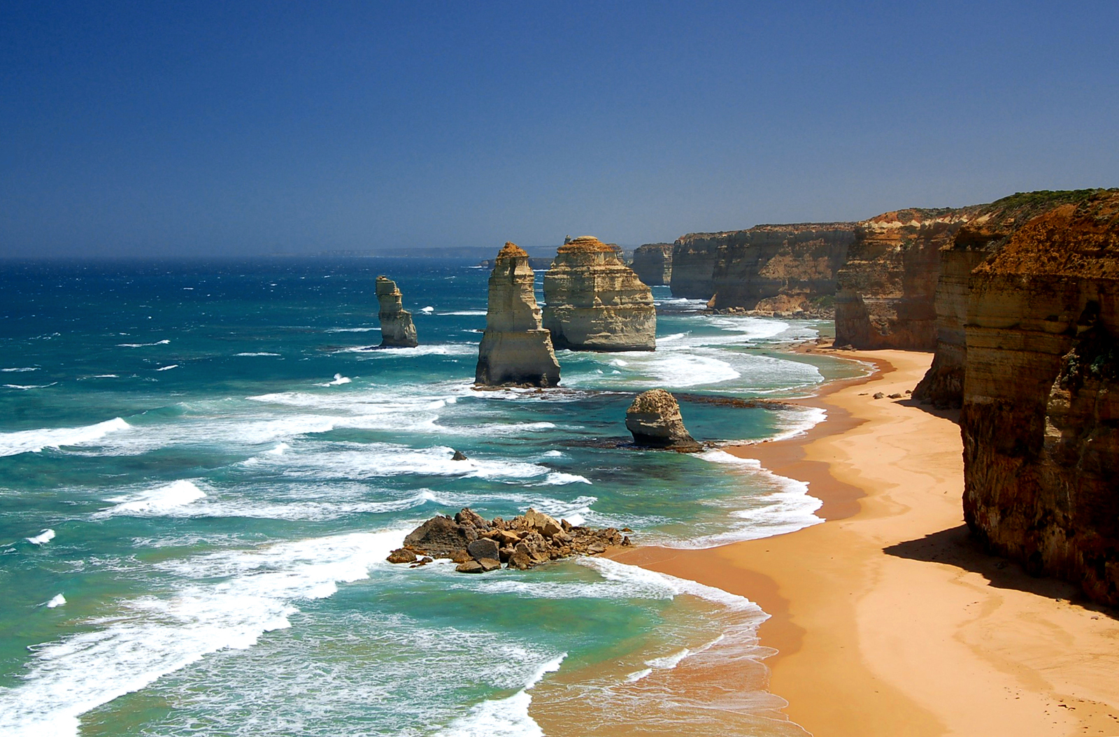
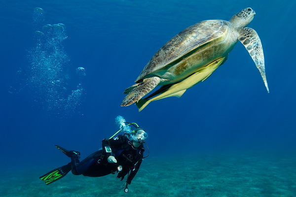
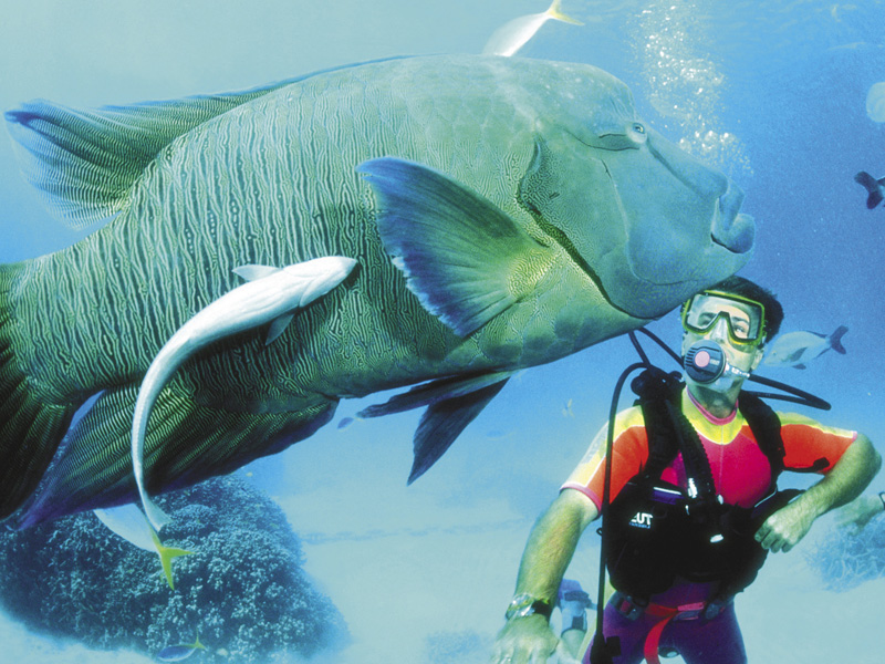
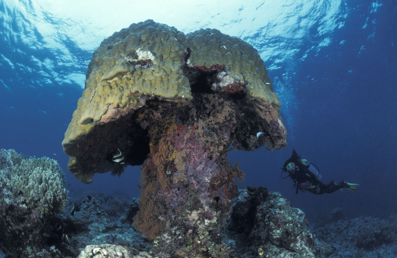
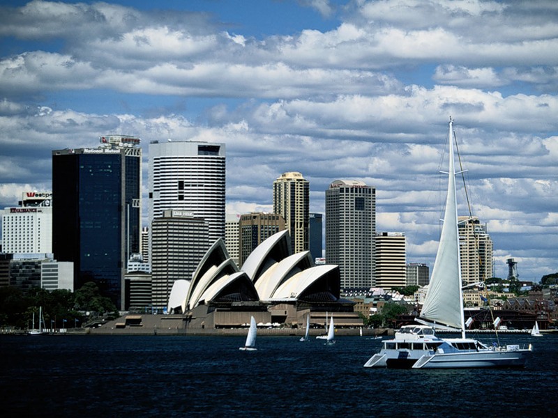
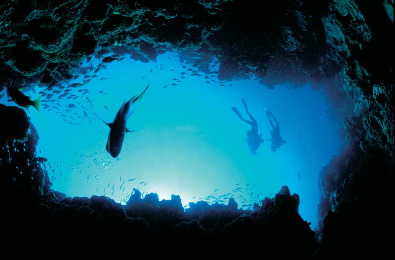
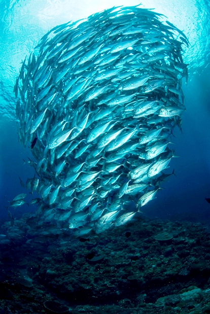
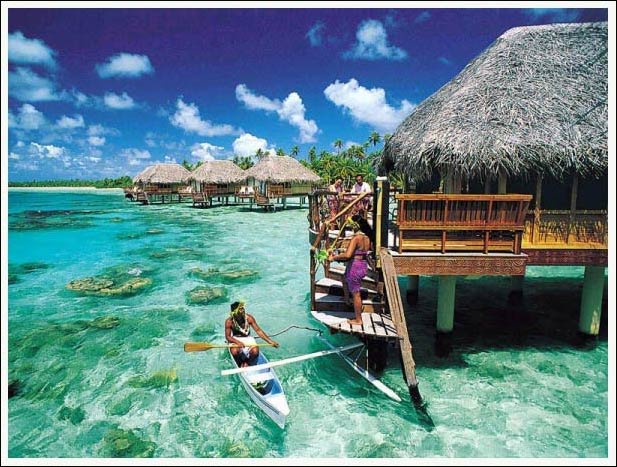
The capital of Australia is Canberra, a meticulously planned city, thought out to the last detail, vivid and juicy, with its own character distinguishing it from other cities. Australia is blessed by prolific climate, comfortably warm for most of the year. Sometimes it can be extremely hot in summer, but in winter you can even play snowballs in the south-west of the country, only in the mountains, though. Seasons here are antipodal to the seasons in the northern hemisphere: January is usually the hottest month, while July is the coldest time of the year. The national currency is Australian dollar (AUD). The northern and the eastern coasts of Australia are washed by the seas of the Pacific Ocean: the Arafura Sea, the Coral Sea, the Tasman Sea and the Timor Sea of the Indian Ocean; the western and southern coasts are washed by the Indian Ocean. Near Australia there are large islands: New Guinea and Tasmania. The biggest cay in the world – Grea Barrier Reef, which can be seen from the space – stretches for more than 2 thousand kilometers along the north-east coast of Australia. Great Barrier Reef is also the biggest natural phenomenon formed by living organisms. Diving will be particularly fascinating here.
In the vast of Australia you can meet kangaroos and koalas, ibises and parrots, iguanas, echidnas and many other exotic animals. Interestingly, more than 150 millions of sheep pasturing in Australia outnumber its people about seven times. However, do not forget that the most poisonous creatures live just in Australia, for example: ‘sea wasp’, whose poison can kill more than 50 adults or stingray, which can easily pierce human skin by its poisonous barbs.
The largest international airports in Australia:
- Adelaide Airport – the main international airport of South Australia (ADL)
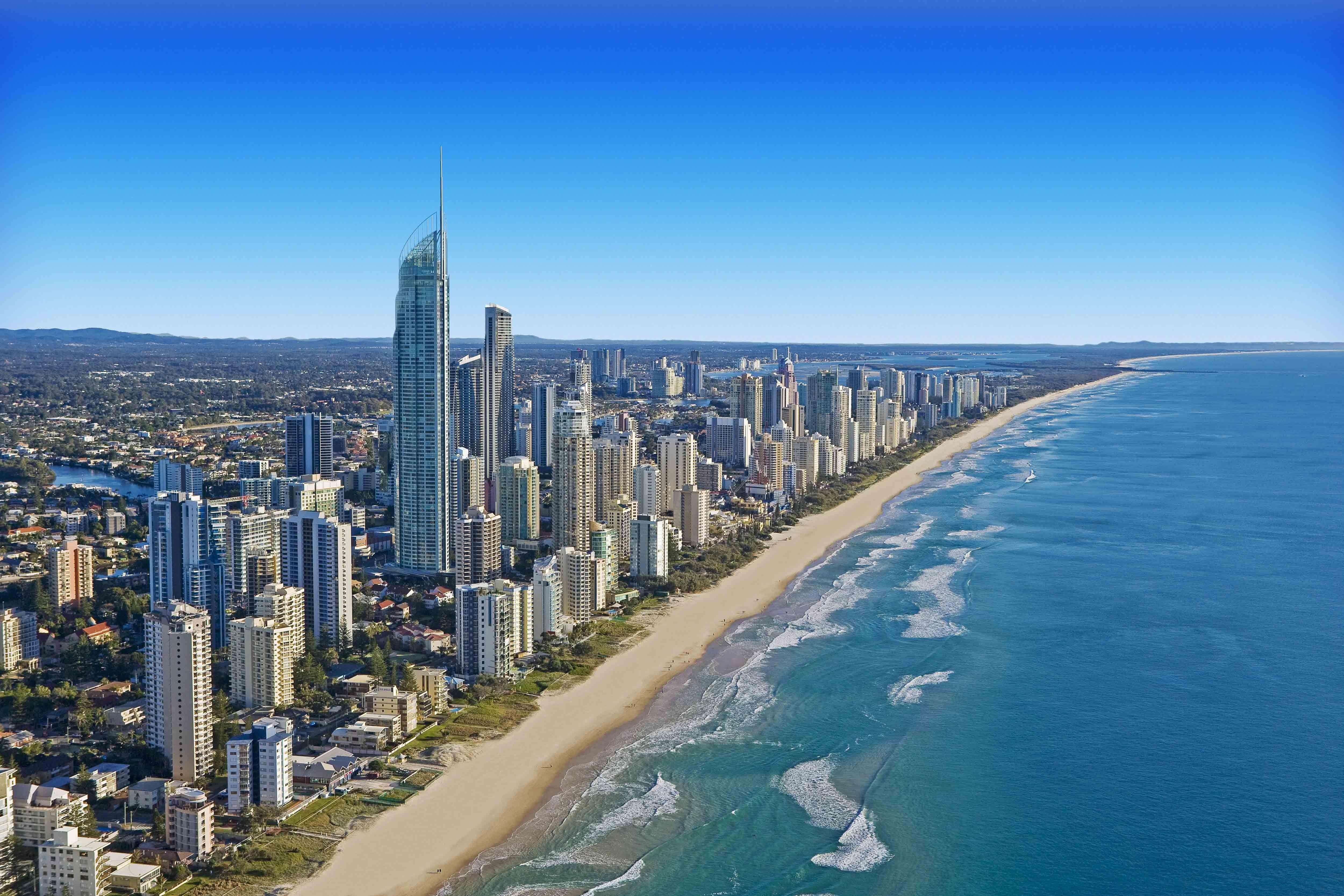
- Brisbane Airport – the main international airport of Queensland (BNE)
- Darwin International Airport the main international airport of Northern Territory (DRW)
- Canberra International Airport the international airport of the capital of Australia (CBR)
- Cairns Airport (CNS)
- Melbourne Airport the second largest international airport in Australia (MEL)
- Norfolk Island Airport – the only airport of Norfolk Island (NLK)
- Newcastle Williamtown Airport (NCL)
- Perth – the biggest airport of North Australia (PER)
- Sydney Airport – the biggest airport in Australia (SYD)
- Townsville International Airport (TSV)
- Hobart International Airport – the air gate of Tasmania (HBA)
Diving in Australia. Most popular places:
Queensland – washed by the Coral Sea (Great Barrier Reef)
New South Wales – washed by the Tasman Sea
Victoria – has an extensive river system. The most important is the Murray River net, whose bank is the northern boundary of the state. To the south of the state there is the Bass Strait.
South Australia – its southern part is washed by the Great Australian Bight and the Southern Ocean.
Western Australia – the northern and the western shores of the state are washed by the Indian Ocean.
Northern Territory – in the north it is washed by the Timor Sea, the Arafura Sea and the Gulf of Carpentaria.
Tasmania – the island is situated in the ‘roaring forties’ on the way of persistent western stormy winds. It is washed by the Indian and the Pacific Oceans and is separated from Australia by the Bass Strait.
Norfolk Island is situated in the southern part of the Pacific Ocean to the east of Australia.
Christmas Island – a small island in the Indian Ocean.
The Cocos (Keeling) Islands – a group of 27 small coral islands, situated in the Indian Ocean.Solomon Islands
Solomon Islands
Solomon Islands
Solomon Islands
Solomon Islands
Solomon Islands
Solomon Islands
Solomon Islands
Solomon Islands
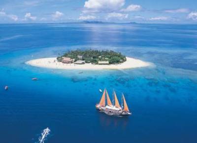
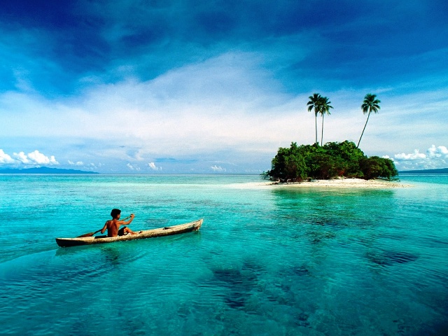
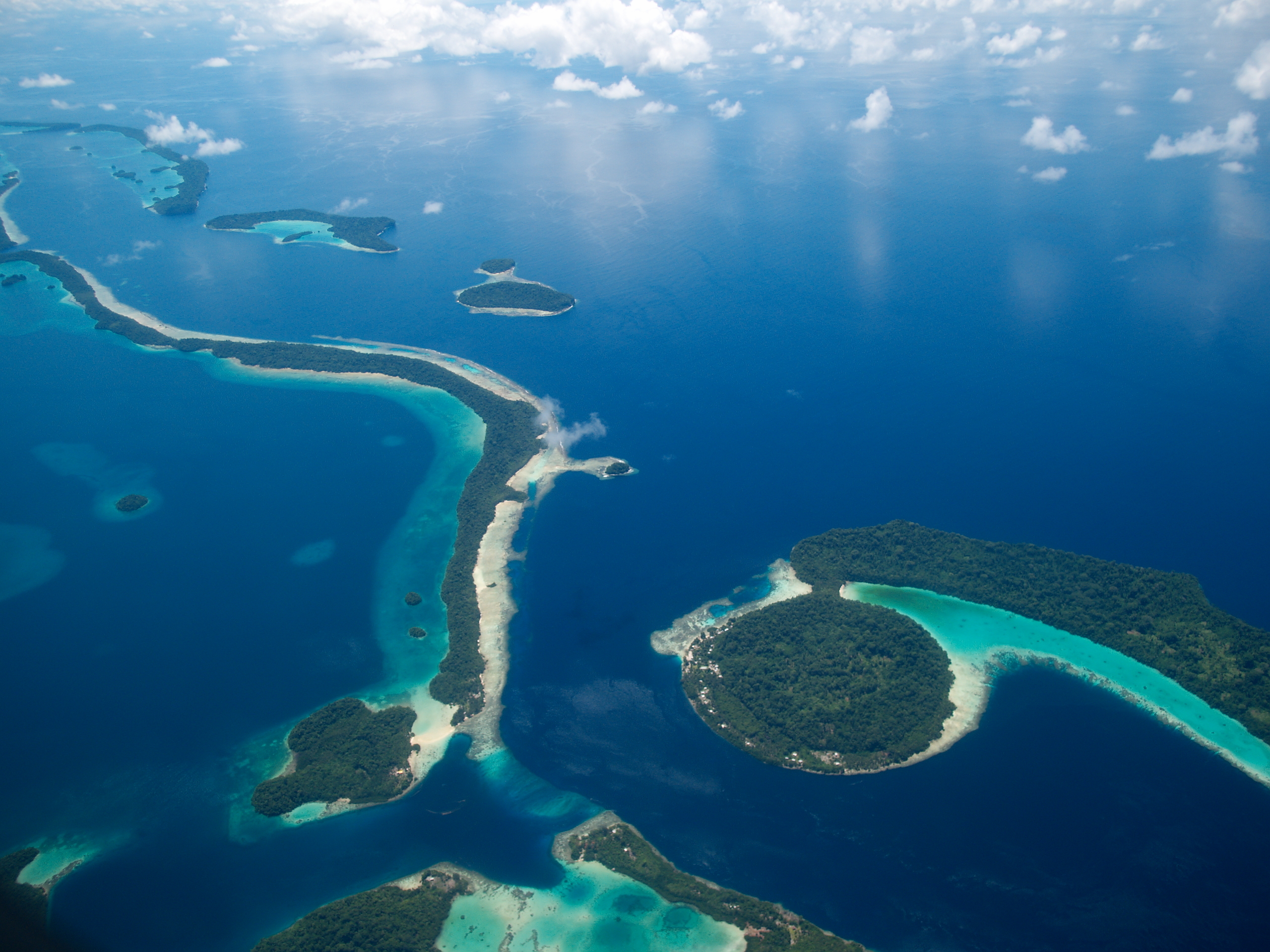
What to see in the Solomon Islands? Kavachi volcano; Marovo Lagoon; Tetepare Island reserve; Arawon Island; Tegano Lake; East Rennell atoll.
Melanesians are considered to have been inhabiting the Solomon Islands for several thousand years. It can surprise that during such a long period of time this territory has not reached the same level of development as in Europe, cannot it? However do not forget that pacific countries are the most isolated region in the world. The Solomon Islands are a state situated in Melanesia eastward from Papua New Guinea. It consists of 992 islands, but only 347 of them are inhabited. The country got independence from Great Britain only in 1978. The northern part of the Solomon Islands Archipelago (including Bougainville Island, Buka Island, Nissan Island and range of atolls) belongs to Papua New Guinea. The capital of the Solomon Islands – Honiara – is situated on the largest island of the country – Guadalcanal. The official language is English, though only 2% of the population can speak it. At the same time Melanesian people widely use Melanesian “pidgin” (which is, in fact, Creole language), and 120 other languages. The national currency is Solomon Islands dollar (SBD). The main line of industry is fishing. Tuna from the Solomon Islands is exported to all over the Europe. The cultural image of this region is pretty much the same as many years ago. Nearly all the houses are traditional: rectangular huts with wicker walls and gabble roof made of palm leaves. But in large towns you can easily find buildings of European type. Melanesians prefer modern clothes, few if any wear waistcloths. The climate is subequatorial, very humid. The average temperature is 26-28 degrees Celsius and it hardly ever changes throughout the year. The most comfortable period is from May to October, during this time it is relatively dry and not hot. The hottest and the most humid period continues from December to March. It is highly recommended to get vaccinated against malaria, typhus, hepatitis B and jungle fever if you are going to visit this region. The Solomon Islands undoubtedly merit divers’ attention with their incredibly bright underwater world and enormous number of sunken ships and crashed airplanes of the Second World War. Generally the depth in diving spots is from 20 to 45 meters and water temperature is about 25-30 degrees Celsius.
On the Solomon Islands there is an active underwater volcano Kavachi, belonging to the New Georgia Islands. On New Georgia Island there is the world’s biggest saltwater lagoon – Marovo Lagoon. There you can find volcanic islands with active volcanoes. They are too small so their activity poses no danger. However here you can explore complex volcanic bottom configuration, forming various grottos, caves, walls and tunnels inhabited by very interesting creatures.
The biggest island of the lagoon is Tetepare Island. It is a reserve of international importance, where you can meet endangered leather turtles and particular species of sea cows. Arawon Island, which is called Turtle Island, is inhabited by rare species of hawksbill turtles. The territory of the Solomon Islands includes East Rennell – the world’s largest raised coral atoll. Also on Rennell Island there is the biggest freshwater lake in the southern part of the Pacific Ocean with more than 200 islands and diverse flora and fauna – Tegano Lake.
You can get to the Solomon Islands from Darwin, Melbourne, Brisbane, Sydney, Oakland and some other cities of Australia and New Zealand. There are 40 airports on the Solomon Islands and one of them is international:
- Honiara International Airport (HIR)
The biggest island of the lagoon is Tetepare Island. It is a reserve of international importance, where you can meet endangered leather turtles and particular species of sea cows. Arawon Island, which is called Turtle Island, is inhabited by rare species of hawksbill turtles. The territory of the Solomon Islands includes East Rennell – the world’s largest raised coral atoll. Also on Rennell Island there is the biggest freshwater lake in the southern part of the Pacific Ocean with more than 200 islands and diverse flora and fauna – Tegano Lake.
Guadalcanal is surrounded by fifty-odd war ships, and many of them, which were driven ashore due to injuries, remain on the same place. About twenty more ships sunk among Savo Island and capes Tessafaronga and Esperance, which can be easily seen due to water transparency though they are situated on the depth exceeding scuba-diving limits.
To the north of Guadalcanal Island, on the bottom, there are tens of Japanese, American and English fighters. Many crash sites have been covered with marine sediments but the most popular ones are regularly cleared by divers themselves.